Monday, April 22, 2013

Snow at Charlies


This is the first scene I saw last Monday morning when I opened up the shades at 6:30 a.m. 

I had to take a double look to make sure I was really seeing snow on the rooftops

Then, about 9:45 a.m. it had melted but still remained cloudy and overcast

SURPRISE, about a half hour later it started to snow and continued with light flurries for about 15 minutes

Then, a half hour later the sun popped out and poof, all was gone EXCEPT

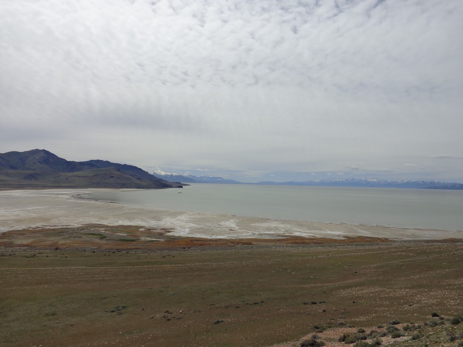
The remains of additional snow on the mountains surrounding the area

This picture is from the parking lot at the BX at Hill AFB, The mountain is east of the base


Neeedless to say the weather has definately been changeable since we've been here.


Antelope Island 1

Welcome to Antelope Island - The largest island in the Great Salt Lake which offers camping, wildlife viewing, hiking, horseback riding and mountain biking.

As we drove down the causeway we could see that the lake was extremely low. The lake is generally 75 miles long by 28 miles wide and covers 1,700 square miles 

At this level the maximum depth is about 33 feet, however the size and depth varies greatly with seasonal evaporation and precipitation

Water flows into the lake from 4 river drainages, carrying 2.2 million tons of minerals into the lake each year. The Great Salt Lake has no outlet, water leaves only through evaporation

This is a view of Bridger Bay Campground and one of 26 primitive campsites which include tables, fire pits/grills and vault toilets. There is no water, electricity or shade in the campground. The Island does maintain a sewage dump for emptying holding tanks

Antelope Island comprises 28,022 acres and is 15 miles long and 4.5 miles across at its widest point.  Frary Peak is the highest point on the island at 6,596 feet above sea level.

  
Some scenes of the shoreline from atop the hill at the interpretative center


The island is part of a basin and range mountain formation located between the Wasatch and Sierra Nevada ranges

You can see is quite a hike down to the water


A map of the hiking trail on the island


Antelope Island 2

Coming down from one of the hills which leads to a couple of the hiking trails.   

This mountain is on the mainland as we are looking east

Looking northeast

Looking southeast

You can see it is a steep road, 23% grade incline

You can see how much of the lake has evaporated

I'm only speculating but I think that the hike out to the water might be quite muddy

It was a really nice day to tour the island


You can see it is a l-o-n-g walk from the beach down to the water

The specks you see near the water are people and a couple walking towards the water


Couldn't resist this pretty reflection in the water
Hope you enjoyed the tour


Thursday, April 18, 2013

I-15 Road Trip 2

There are numerous mountains throughout the Pahvant Range with elevations ranging from 11,331 ft. up to Delano Peak at 12,173 ft. and Mount Belknap at 12,139 ft, etc.

The area was really beautiful to look at as we traveled down the highway

Here is a herd of cattle trying to get some food from under the snow

At this point the sign says that we are 175 miles from Salt Lake City


The snow started disappearing as we traversed in elevation. The town of Ogden is only 4,300 ft. in elevation

Now here's a sight you don't see too often. 80 miles per hour speed limit.  Needless to say we didn't travel that speed, we get our best fuel mileage between 62 - 65 mph.

The closer we got to Provo and Salt Lake City the more traffic we encountered


By now you've seen enough of this snow stuff., Right ??