
Welcome to Antelope Island - The largest island in the Great Salt Lake which offers camping, wildlife viewing, hiking, horseback riding and mountain biking.

As we drove down the causeway we could see that the lake was extremely low. The lake is generally 75 miles long by 28 miles wide and covers 1,700 square miles

At this level the maximum depth is about 33 feet, however the size and depth varies greatly with seasonal evaporation and precipitation

Water flows into the lake from 4 river drainages, carrying 2.2 million tons of minerals into the lake each year. The Great Salt Lake has no outlet, water leaves only through evaporation

This is a view of Bridger Bay Campground and one of 26 primitive campsites which include tables, fire pits/grills and vault toilets. There is no water, electricity or shade in the campground. The Island does maintain a sewage dump for emptying holding tanks

Antelope Island comprises 28,022 acres and is 15 miles long and 4.5 miles across at its widest point. Frary Peak is the highest point on the island at 6,596 feet above sea level.

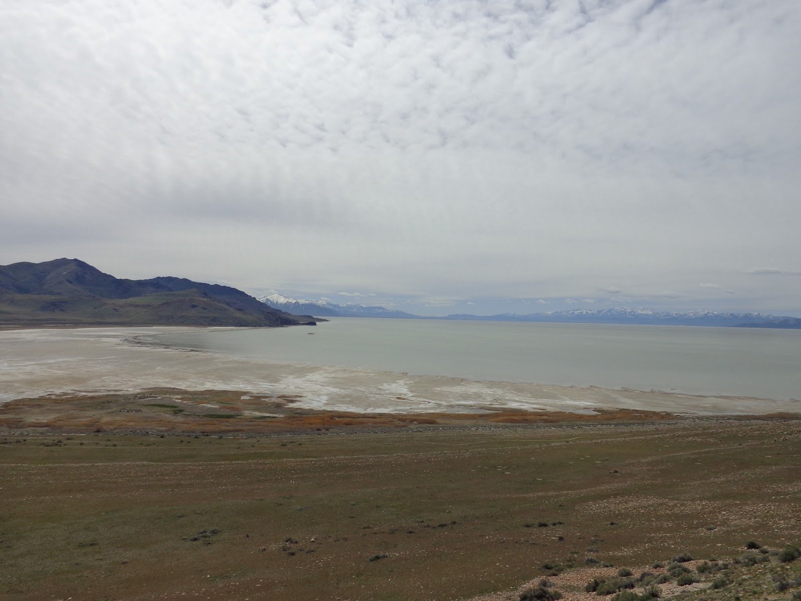
Some scenes of the shoreline from atop the hill at the interpretative center


The island is part of a basin and range mountain formation located between the Wasatch and Sierra Nevada ranges

You can see is quite a hike down to the water


A map of the hiking trail on the island
No comments:
Post a Comment